Showing posts with label GTI. Show all posts

Saturday, October 1, 2011

Google SketchUp

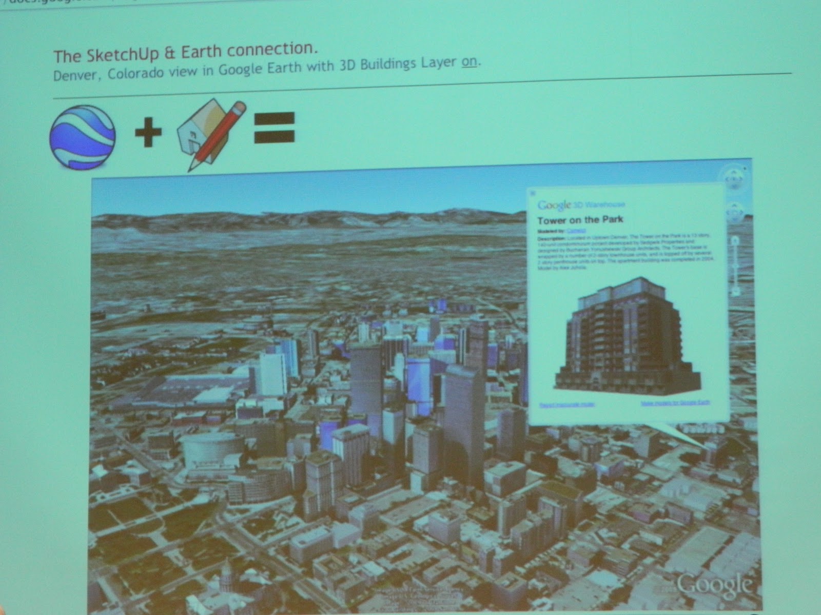
Before the Google Geo Teacher Institute I knew very little about Google SketchUp. I downloaded it at some point a while back but didn't quite grasp it so I put it on a back burner. After an intensive breakout session earlier this week, I feel like I have a MUCH better understanding of SketchUp and am eager to use it in the classroom. It incorporates math, geospatial reasoning, geography, chromatography and many other educational concepts. 
My session was taught by Allyson McDuffie, the manager of the SketchUp for Education Program at Google. She kept things moving very fast and inundated us with tons of relevant information.

Here is just a little bit of what I learned:
This is "Susan."
Susan Willard is a Google Engineer who worked on the original Google Sketchup. Each time a new version of SketchUp comes out a new model is included to give designers a relative sense of scale. She’s the first female to be the default SketchUp model! Version 8 is out now. 
The "push/pull tool" is designed to expand or decrease the volume of geometry in models.
SketchUp is primary a “click and release” program, generally it does NOT require clicks and drags. The push/pull tool is what SketchUp is known for and it is a patented tool.
My doghouse - complete with a roller coaster and of course, a mini schnauzer.
We spent time in class building a doghouse, which was mainly for practice using the tools, and then we learned how to model a real building that actually exists. It was challenging to learn a program as complex as Google SketchUp in a single day but I walked away realizing that like Scratch, SketchUp has a low bar but a very high ceiling. It is easy to begin using and there are many basic functions, but users can take SketchUp to many levels and go very deep.

Wednesday, September 28, 2011

Google Maps and Google Earth

Following is a brief summary of a few of the many things I learned in my Google Maps/Earth breakout session:
This is Pegman!
Google Street View is a technology featured in Google Maps and Google Earth that provides panoramic views from various positions along many streets in the world. Google has special boats and bikes to collect street view images from places like National Parks, the Grand Canyon, ski resorts or narrow alleys, etc. Drag the Pegman to places where photos have been taken to view that place in "street view".
Google Street View Camera
In Google Maps you can physically drag your route on a map to change it and it also has shaded elevation layers. Customized Google Maps can be exported as a KML file, which can be opened in Google Earth. KML files can be created within Google Maps.
Google Fusion Table
Fusion Tables can be used with both Google Maps and Google Earth and there is a collaborative option within maps. With the My Maps feature in Google Maps, you can mark locations, paths, and regions of interest on a personalized map, and share it with the world or a specified group. You can even add descriptive text, embed photos and videos, and view your map on Google Earth.
Map Overlay

Overlays are extremely powerful for Google Earth and there are many free overlay maps available for public use. Historical maps as well as modern maps can be used as overlays. Rumsey Historical Maps are a built-in layer of overlays in Google Earth’s Gallery.
Google Earth Had More Than 50 Species of 3D Trees
Now available in the Google Earth Gallery are 3D Tours and they are incredible! They 3D Trees are pretty awe-inspiring as well. 
Google Earth Keyboard Shortcuts:
N = North
U = Up
R = Up and North at the Same Time
Command and an arrow key will allow you to tilt up or down.

Tuesday, September 27, 2011

Google Geo Teacher Institute - Day 2

Day 2!
Tia Lendo from Google began the day talking about Google Chrome and Chromebooks in the classroom. Chrome was designed by Google to work exclusively with web applications. One of my favorite features of Chrome is that it is so safe and secure, protecting from phishing schemes, malware, pop-ups, and viruses. Chrome warns you if you’re about to access an unsafe website. With the advent of PVUSD becoming a Google Apps District, Chrome ties in seamlessly with the evolving trend of cloud computing
John Nowlin from MLTI was next, teaching us about individualized and community connected learning. His discussion was rich with the importance of pedagogical knowledge and awareness of our student's needs, interests and learning styles. Mr. Nowling reinforced the message from yesterday that digital media should be used within a learning environment to support content and new concepts, and teachers must be adept with 21st century skills. 
Truly GIANT Maps!
Daniel Beaupre presented the National Geographic Giant Traveling Maps next. These truly GIANT maps (26 by 35 feet!) are designed for use in grades K-8 and it tours with a trunk full of accessories including interactive games, geography adventures, atlases and books. Students learning with the Giant Map are exposed to the physical characteristics of the nation they are studying as well as history and varied cultures. 
Our final speaker of the day before the break-out training sessions, was Toby Lester, author of The Fourth Part of the World. He taught us about the actual map, which is still in existence, that gave America its name. In 2003, The Library of Congress paid $10 million for the only existing copy of the map from the year 1507, which was the first map to show the New World and call it "America". Mr. Lester presented a brief history of cartography and the evolution of maps, beginning with the paper map from 1507 to Google Maps today. 

Monday, September 26, 2011

Google Geo Teacher Institute - Day 1

The day of learning began with keynote speaker, Angus King, the former governor of Maine. Governor King is very passionate about education, particularly technology in education. In 2002, King launched the Maine Learning Technology Initiative, a program which provides a MacBook to every public school student in grades 7 - 12 in the state of Maine. This is known as a 1:1 program.
The clear message Governor King delivered to the Googlers in the room was this: Classroom technology is a tool and it must be used properly. Teachers need to engage their students and teach them to think, be creative, find answers and understand information. We should teach our students to be good digesters, not good regurgitators. Technology is a powerful classroom tool but teachers must have the training and understanding to use it properly and effectively.
Next on the agenda was Jerome Burg, the creator of Google Lit Trips. I had the pleasure of meeting Mr. Burg this summer during the Google Teacher Academy and I am more impressed than ever! Google Lit Trips are free downloadable files that mark the journeys of characters from books and stories on the surface of Google Earth. At each stop along the way there are placemarks with pop-up windows containing a variety of resources. The focus of a Google Lit Trip is to create engaging and relevant literary experiences. It puts the the reader inside the story and really only makes sense if you are currently reading or have previously read the accompanying literature. Mr. Burg is quick to point out that a Google Lit Trip is NOT like using Spark Notes or Cliffs Notes. The experience is designed to stimulate higher level thinking skills and allow students to make connections. 
Next up - Michael Hathorn and his amazing tales of he and his students literally putting Hartford, Vermont on the map using Google SketchUp. He and his enthusiastic students created a digital history of their tiny New England town by constructing 3D models of the town's tiny buildings and geo-locating them in Google Earth. More information regarding Google SketchUp to follow - that was my afternoon break out session and I learned a ton!
 Still before lunch I was schooled in Motion XGPS, aggregating data, Google Fusion Tables and Geospatial Thinking. The training was intensive and fast paced. I loved every minute of it! I took notes, tweeted about my experience and basically just tried to keep up. Tomorrow's focus: Google Earth and Google Maps.